For a new place, knowing travel route is not an easy task. You can check on route by referring printed travel map or manually moving around in streets and look for sign boards. Other more easy way to identify best route between specific places is using Google Maps. You can easily find actual travel route to your destination using Google Maps on your computer.
Find a route using Google Map
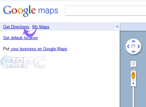
1. Open Google Maps website at: maps.google.com

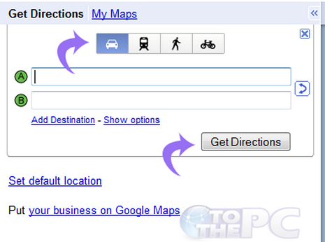
2. Select the mode of transportation whether you are traveling by car, bike etc.

3. Enter the start and end point in rows marked as A & B respectively.
4. Click on Get directions.
>

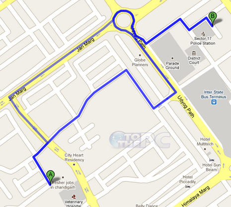
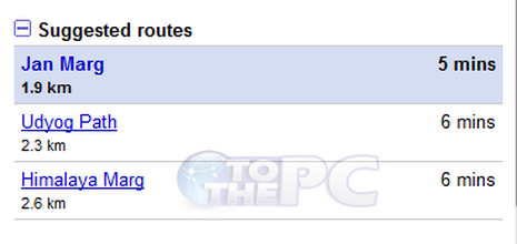
Google Maps will display you the best possible route with the directions to your destination. It will also suggests some more routes to that same place with as approximate time and the approximate distance in kilometers to reach that place.
